Portland City Trail (#3) – Sauvie Island
October 18 and November 1
Andy and I walked the Sauvie Island Warrior Rock Lighthouse trail on bright autumn day in mid-October. And later, on November 1, I returned to walk around Virginia Lake.
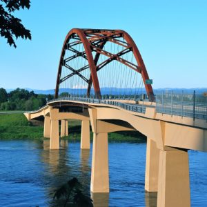
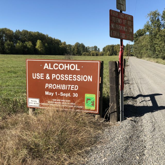
Sauvie Island is a special Portland destination and it sits just 10 miles northwest of downtown. It is the largest island in the Columbia River (32 square miles) and is home to approximately 1,500 nice gentlemen and lady farmers and some ne’er-do- well houseboat dwellers. A large portion of the island is a protected wildlife area.
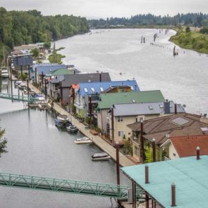
The Lewis and Clark expedition originally named the island Wapato after the plants that grew there in profusion. Wapato is also known as “Indian Potato” and it was a food source for the 2,000 Native Americans who were the island’s original settlers. But you know the story, by early 19th century trappers and white settlers brought beads, weird religions, and population-devastating disease to the natives.
Historians recorded that most Wapato Island natives were wiped out by the “ague” epidemic of 1829. And by the early 1830’s the native population was so decimated Hudson Bay Company burned the native lodges and removed the remaining survivors. That last sentence encapsulates how I was taught history –annihilation stories told in single sentences with a soft casualness. Words like ‘removal’ and ‘burning’ were used as if they were synonyms for ‘meet’ and ‘greet’.
In the 21st century Portlanders bring their children to Sauvie to walk through corn mazes, pick berries and pumpkins, and get a feel for rural life. Besides a good variety of kid activities in the summer and fall the island also offers outstanding bird watching year-round.
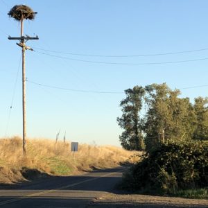
The Audubon Society of Portland website informs there are 500+ bird species in Oregon and 250 of those use Sauvie Island for one thing or another. In fall migrating Sandhill cranes, Snow geese, Tundra swans, and Osprey all nest on the island. On our hike Andy and I saw multiple Osprey nests within feet of one another. Bald eagles breed and celebrate the winter holidays on Sauvie along with other big birds like Northern Harriers and those randy Rough-legged Hawks. Waterfowl on the island exceed 200,000 in the winter.
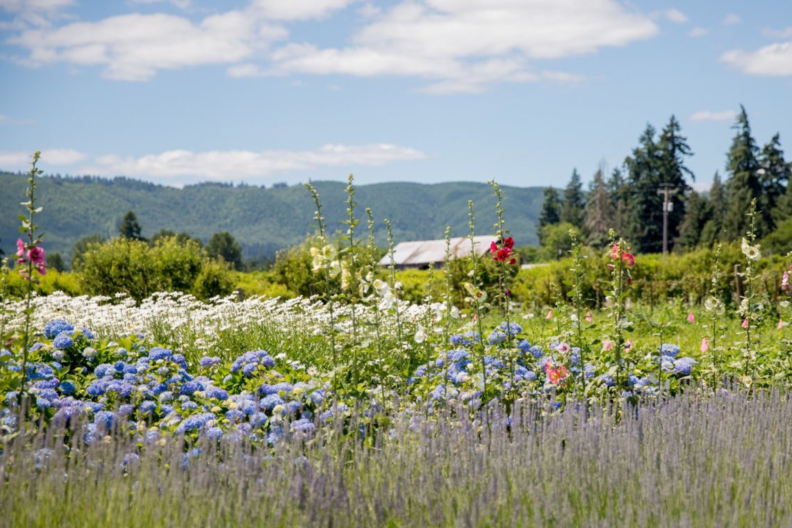
At first glance Sauvie Island looks Midwestern-agrarian but views open up to 3 close-by mountain peaks (Hood, Adams, and St. Helens) and stands of native evergreen trees punctuate the island. There is a sense of familiarity to the place. Sauvie could well be the source of that pastoral print ripped from a free calendar handed out by an insurance agent your grandma tacked up somewhere in her old craftsman.
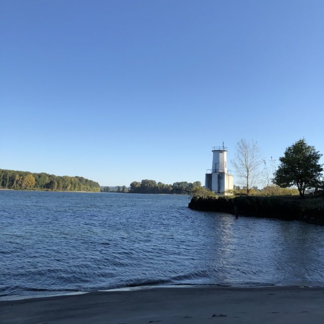
Our hike to the Warrior Rock Lighthouse was over a wide flat trail that is good for running, and multiple runners zipped past us that sunny afternoon. The trail follows one channel of the Columbia River and along our hike we were treated to views of blue water, white sail boats, and deep sandy beaches – sections of which are designated as clothing optional. (Google images of ‘Collins Beach, Sauvie Island’ and you’ll get an eyeful of naked Oregonians.)
After 3.5 miles the trail ends at a point marked by the Warrior Rock Lighthouse. Warrior Rock is Oregon’s smallest lighthouse and only one of two not on the Pacific Ocean. The lighthouse is automated and sounds a bell and shines a beacon for boats and ships to be wary of the Sauvie Island reef.
The second time back to Sauvie I walked another wide flat trail around Virginia Lake. I found the hike on a web site but when I returned home Andy checked to find the trail and Virginia lake on a map and couldn’t find either. In fact, we couldn’t find a reference to the lake on any official map of Sauvie. So, the whole trek has a tinge of the surreal to it.
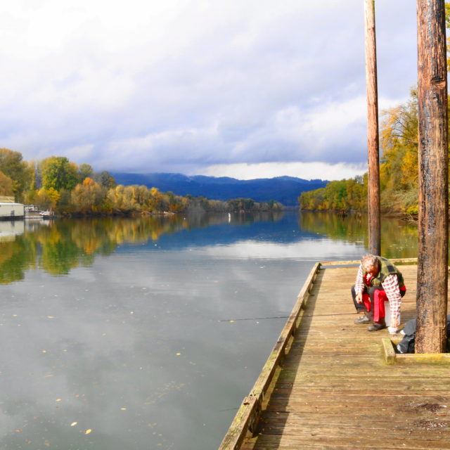
To add to the strangeness of the day, at the turn-around point for the Virginia Lake trail I found a dock where no one spoke English nor did they acknowledge me -they didn’t lower their eyes or look away as I passed, they acted quite simply as if I was not there, as if I was unseeable. Side note: it was Day of the Dead when I took this hike. Draw your own conclusions but I plan on returning soon to figure out that “lake”.
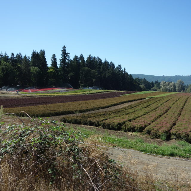
Both trails were comfortable out and back trails. And those two trails (uhm…if there really was a Virginia Lake trail) are just two among a good number on this bucolic island, just northwest of dense and bustling Portland. We’ll come here when you visit if you would like. The options are endless for a good day of outdoor activity: flat hiking trails, naked swimming, berry picking, kayaking, bike riding, bird watching, and maybe even a tibble if its between October and April (see the final pictue).
